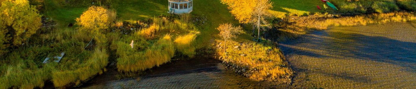
Quiet. Riverside. Adventure.
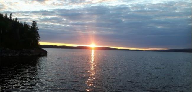
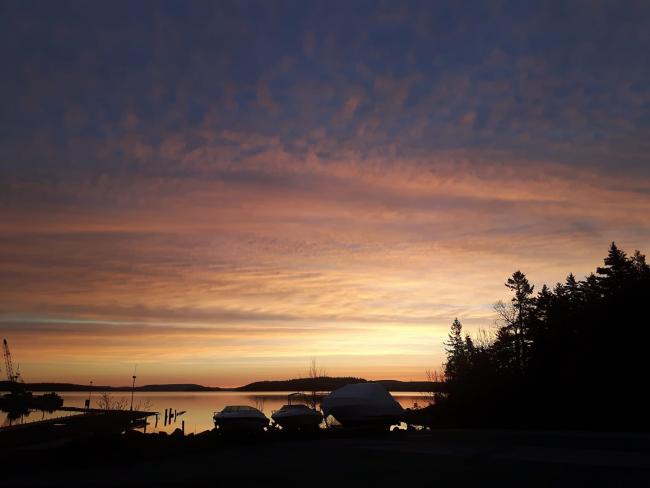
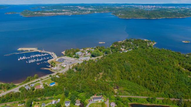
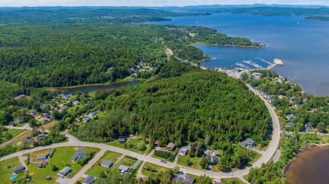
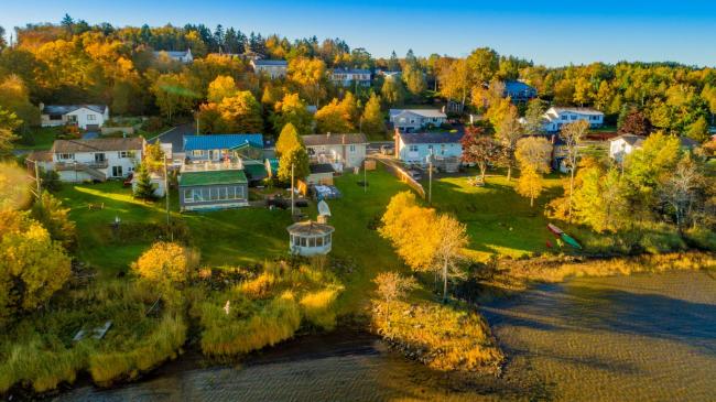
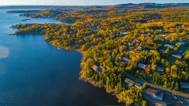
This is cottage country. Well, it used to be. And no wonder. Life here is pretty much defined by a connection to water. The neighbourhood’s main road, Westfield, follows the St. John River, and boat launches, boat storage, and a marina ensure that residents can get out on the water.
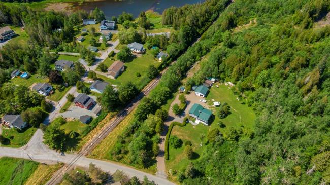
In this spacious neighbourhood, homes—mostly single family detached, built pre-1960s—are on large lots, and often offer river views. Though residents enjoy the water, a lot of hiking opportunities are here too. And west side shopping isn’t far away.
South Bay gets its name from the small bay formed by Greenhead, an island in the St. John River that separates South Bay from the Reversing Falls gorge. One of the defining architectural features of South Bay is what’s known as Emerson Castle. It’s actually named Baker Castle, however, and it was completed in 1915 using local limestone from the Randolph and Baker quarries at Greenhead on the other side of South Bay.
The boundaries and data used to define the neighbourhoods in this section are supplied by Statistics Canada as Census Tracts and may not reflect exact local area names and boundaries. Every effort has been made to include as many local names as possible.